

Understanding What Satellite Data Can Reveal About Climate is becoming essential in education and society. From tracking deforestation to analyzing heatwaves, this technology gives us insights we can’t ignore.
From heatwaves and wildfires to glacial retreat and urban expansion, satellites are watching the world change. The question isn’t whether satellite data is useful—it’s how deeply it’s shaping our understanding of climate in education and society.
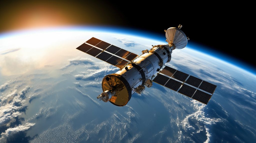
How Satellites Track Climate Change in Real Time
Satellites orbiting Earth provide continuous, global, and high-resolution data. But what does that mean for climate?
Here’s a breakdown of the types of data satellites collect:
- Surface temperatures (via infrared sensors)
- Atmospheric composition (measuring gases like CO₂ and methane)
- Ocean levels and ice coverage
- Land use changes like deforestation and desertification
- Urban heat mapping for cities
NASA’s Earth Observing System, for instance, collects over 30 terabytes of data daily, powering models used by climate researchers worldwide (NASA 2024).
What Satellite Data Can Reveal About Climate Trends That Affect Society
Understanding what satellite data can reveal about climate isn’t just for scientists. Its real-world impact reaches:
1. Heat and Health in Urban Areas
Satellites like Landsat and ECOSTRESS can detect surface temperatures block by block. This helps cities understand which neighborhoods are at highest risk during heatwaves—a crucial insight for education planners, especially in schools lacking air conditioning.
A 2023 study in Nature Communications found that satellite-derived heat data was key in targeting aid during record-breaking U.S. heatwaves (Li et al. 2023).
2. Forest Loss and Local Economies
Using satellite imagery, platforms like Global Forest Watch monitor tree cover loss in near real time. This data helps local governments respond to illegal logging, which impacts biodiversity, agriculture, and educational outreach in rural communities.
3. Water Scarcity and Agricultural Planning
The GRACE satellites track underground water levels. In India and California, satellite data has helped inform irrigation policy and school curriculums on sustainable farming.
Bringing Satellite Climate Data into Education
Education systems around the world are integrating satellite data into climate science lessons. Here’s how this trend is unfolding:
Subheading: What Satellite Data Can Reveal About Climate in the Classroom
- Interactive GIS mapping: Students use real-time satellite layers to analyze land use.
- Open NASA data portals: Teachers can download climate datasets to build local case studies.
- Citizen science initiatives: Apps like GLOBE Observer let students collect ground data to validate satellite observations.
This approach supports STEM learning and fosters critical thinking about global and local climate issues.
Tools to Explore What Satellite Data Can Reveal About Climate
If you want to work directly with satellite data, here are some platforms:
- NASA Worldview
Free, easy-to-use viewer for satellite layers including temperature, fires, and aerosols. - Copernicus Open Access Hub (European Space Agency)
Provides access to Sentinel satellite data, commonly used in climate and environmental monitoring. - Google Earth Engine
Cloud-based tool that lets researchers, NGOs, and students analyze satellite data on a global scale.
These tools have increasingly been used by educational institutions to teach data analysis, geography, and climate justice.
Case Study: Using Satellite Data to Map School Climate Risks
In 2024, the New York City Department of Education began using satellite-derived urban heat island maps to prioritize school infrastructure upgrades. Satellite data showed which public schools experienced the highest surface temperatures during summer months, prompting investments in tree planting and reflective roofing.
This application of what satellite data can reveal about climate directly improved student health and educational equity.
The Ethics and Accessibility of Satellite Climate Data
While satellite data can be empowering, access and interpretation remain barriers:
- Cost of analysis: While raw data is often free, processing tools may require training or computing power.
- Digital divides: Schools and communities without reliable internet struggle to access real-time tools.
- Data privacy: Increasingly high-resolution imagery raises concerns about surveillance and land rights, especially in Indigenous areas.
Organizations like OpenET and GEO for Education are addressing these gaps by creating open-access, low-bandwidth tools designed for educators and policymakers in underserved regions.
Looking Ahead: What Future Satellite Data Might Reveal
The launch of satellites like NASA’s NISAR (NASA-ISRO Synthetic Aperture Radar) and ESA’s Biomass will allow unprecedented tracking of forest carbon stocks and soil moisture—key variables in climate mitigation.
As satellites grow more advanced, the potential of what satellite data can reveal about climate expands from observation to prediction—helping us not just understand the planet, but act in time to protect it.
Conclusion
Understanding what satellite data can reveal about climate is no longer optional. It’s foundational. In education and society, satellite insights are shaping decisions, curricula, and responses to one of the most urgent challenges of our time.
From empowering students with data to guiding city infrastructure, satellite observations are turning the invisible into action—and it’s up to us to make sure everyone can read the signals.
References
- NASA (2024) Earth Observing System Data and Information System (EOSDIS). https://www.earthdata.nasa.gov/about/esdis/eosdis (Accessed: 5 June 2025).
- Li, D., Zhao, L., and O’Neill, M. (2023) ‘Urban Heat Exposure During Record-Breaking Events: Lessons from 2023,’ Nature Communications, 14(562). https://www.nature.com/articles/s41467-023-42084-x (Accessed: 5 June 2025).
- Global Forest Watch (2025) Forest Monitoring Platform. https://www.globalforestwatch.org/ (Accessed: 5 June 2025).